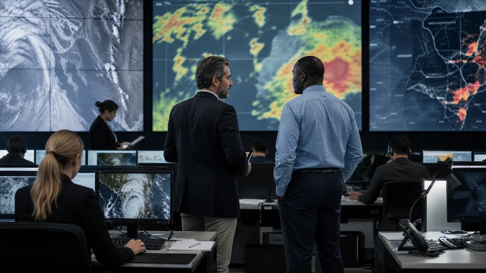
When natural disasters, severe weather events, or public safety emergencies strike, government agencies face the critical challenge of communicating life-saving information instantly to those in harm's way. Traditional broadcast media and broad public sirens often lack the precision needed to guide populations through hyper-local evacuations. By utilizing advanced disaster zone geofencing, emergency management officials can establish virtual safety perimeters around affected neighborhoods and deliver real-time instructions directly to mobile devices currently inside the hazard zone.
Rapid emergency communication requires absolute precision. Issuing widespread evacuation orders to an entire metropolitan area when only a single river basin or coastal ward is threatened creates unnecessary panic and gridlock. Public sector location intelligence solves this dilemma by ensuring that emergency alerts are delivered exclusively to the individuals who need to take immediate protective action.
The Critical Role of Real-Time Location Targeting in Crises
During sudden crises such as flash floods, chemical spills, or severe wildfires, every minute counts. Traditional communication pipelines often experience bottlenecks, and static roadside signage cannot adapt to shifting hazard perimeters. Real-time geofencing allows emergency operations centers to dynamically draw and adjust virtual boundaries as disaster conditions evolve.
By integrating geofencing with mobile ad exchanges and app networks, public safety agencies can push verified shelter locations, road closures, and evacuation maps directly to smartphone users in the danger zone, bypassing standard news latency.
Core Strategies for Emergency Geofencing Deployment
1. Rapid Perimeter Establishment and Hazard Mapping
Emergency management teams maintain pre-configured geofencing templates tied to known hazard zones, such as floodplains or industrial corridors. When an incident occurs, officials activate these polygons instantly, initiating automated emergency awareness workflows using addressable geofencing techniques tailored for rapid response.
2. Dynamic Evacuation Route Broadcasting
As evacuation routes open or close due to congestion or rising hazards, geofenced mobile alerts update instantly. Citizens inside the perimeter receive precise navigational guidance directing them away from blocked arteries toward designated emergency shelters.
3. Post-Crisis Resource and Recovery Coordination
Once immediate danger passes, agencies transition geofences to recovery mode, directing displaced residents to relief distribution centers, clean water stations, and federal assistance desks utilizing event geofencing protocols.
Related Industry Pages
Maintaining System Resilience and Data Security
Emergency communications demand 100% uptime and uncompromising security. Public sector geofencing platforms must adhere to strict federal cybersecurity standards, ensuring that communication pipelines remain resilient against tampering or network outages during high-stress disaster scenarios.
Getting Started
Equipping your emergency management agency with state-of-the-art location intelligence saves lives and streamlines crisis coordination. To discover how to integrate rapid-response geofencing into your safety protocols, Request a free government geofencing strategy session today.